Walking Trail in Mott
View Cannonball Trail MapThe trailhead for the Cannonball Trail is just south of the junction of Highways 8 and 21 (south of Mott/Regent School), but hikers and walkers can access the trail almost anywhere within city limits. A QR code with a map of the trail is available on several trail signs - one on the southeast corner of the school, another on Highway 8 by the Mott Equity Exchange, and one north of the swimming pool.
The trail extension is a boon to both outdoor enthusiasts and those that seek a quiet moment in nature. Ambling along the banks of the Cannonball River, trudging up Glute Hill, hiking atop the Watershed Dam, or strolling amongst the pines enhances our community. And is good for one’s well-being!
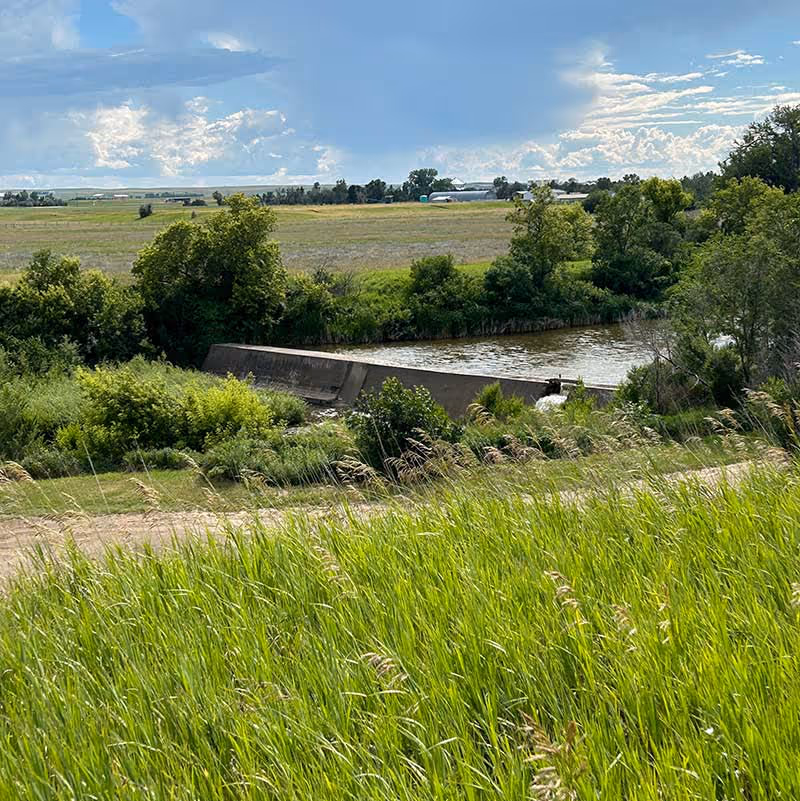
A View of the Dam from Glute Hill
Watershed Dam
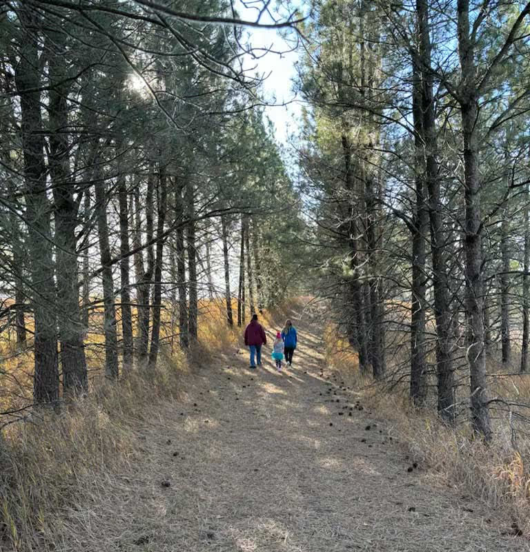
Walking the Pines on the Watershed Loop Trail
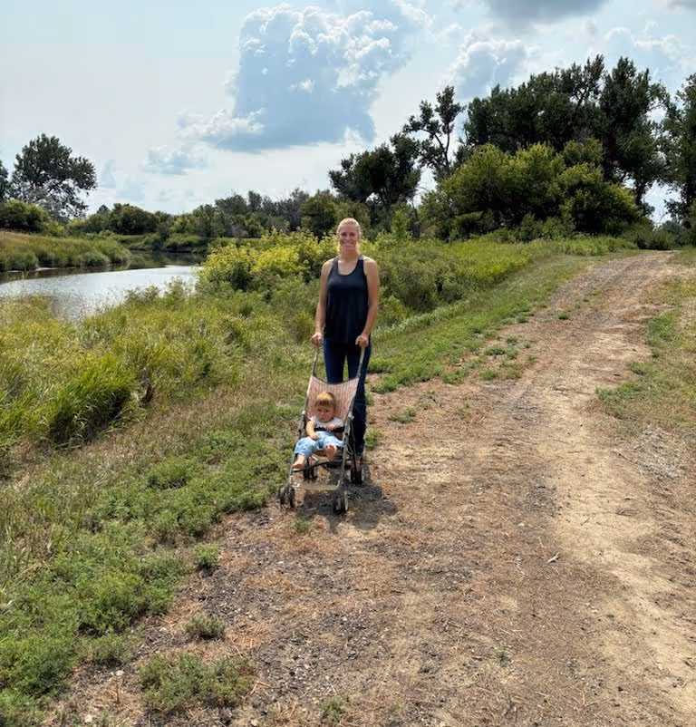
Along the River in West Mott
